
Hawaii’s unique position in the center of the Pacific Ocean makes it particularly vulnerable to tsunamis from both distant and local sources.
With 32 destructive tsunamis recorded since 1900, resulting in 293 deaths and over $625 million in damage, understanding tsunami risks and preparedness has become essential for every Hawaii resident and visitor.
Latest Tsunami Activity and Alerts (July 2025)
As of July 20, 2025, a Tsunami Watch has been issued for Hawaii following a magnitude 7.5 earthquake off the east coast of Kamchatka, Russia at 8:49 p.m. HST on July 19.
The Pacific Tsunami Warning Center (PTWC) reports that if tsunami waves impact Hawaii, the estimated earliest arrival would be 2:43 a.m. HST on Sunday, July 20.
Earlier this week (July 16, 2025), a magnitude 7.3 earthquake struck along Alaska’s Aleutian Chain, but the PTWC confirmed there was no tsunami threat to Hawaii from that event.
Hawaii’s Tsunami Warning System
The Pacific Tsunami Warning Center (PTWC), located on Ford Island in Honolulu, operates 24/7 to monitor seismic activity and ocean conditions.
Established in 1949 following the devastating 1946 tsunami, the center serves as the primary warning system for:
- Hawaiian Islands
- U.S. Pacific territories (Guam, American Samoa, Northern Mariana Islands)
- U.S. Caribbean territories (Puerto Rico, U.S. Virgin Islands)
- British Virgin Islands
Four Levels of Tsunami Alerts
1. Tsunami Warning: Issued when a tsunami with potential for widespread inundation is imminent, expected, or occurring. Immediate evacuation required.
2. Tsunami Advisory: Issued for strong currents or waves dangerous to those in or near the water. Stay away from beaches and waterways.
3. Tsunami Watch: A tsunami may later impact the area. Stay alert and monitor official updates.
4. Tsunami Information Statement: An earthquake has occurred but poses no tsunami threat, or the threat has passed.
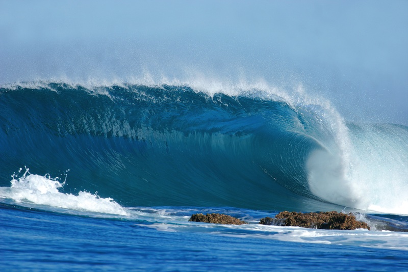
Types of Tsunamis Threatening Hawaii
Distant Tsunamis
These originate from earthquakes far from Hawaii’s shores. Travel times vary based on the source location:
- Alaska: Approximately 5 hours
- Japan: 7-8 hours
- Chile: 14-15 hours
- Tonga/Samoa: 5-6 hours
Distant tsunamis travel at speeds comparable to jet airliners (approximately 500 mph) across the deep ocean.
Local Tsunamis
Generated by earthquakes near or on the Hawaiian Islands, these pose the greatest immediate threat.
With arrival times as short as 30 minutes, there’s minimal time for official warnings. The 1975 Kalapana earthquake (magnitude 7.2) generated waves up to 47 feet high that struck within minutes.
Historical Tsunami Events in Hawaii
April 1, 1946 – The April Fools’ Day Tsunami
The most destructive tsunami in Hawaii’s modern history was triggered by an 8.6 magnitude earthquake in Alaska’s Aleutian Islands.
Key impacts included:
- 159 deaths statewide (173 in Hilo alone)
- Wave heights: 53 feet (Big Island), 35 feet (Oahu), 45 feet (Kauai)
- $26 million in damage (1946 dollars)
- Led to establishment of Pacific Tsunami Warning System
May 23, 1960 – Chilean Tsunami
Generated by a massive 9.5 magnitude earthquake off Chile’s coast, this Pacific-wide tsunami devastated Hilo despite advance warnings.
- 61 deaths in Hawaii
- Wave heights up to 35 feet in Hilo Bay
- $24 million in damage ($171 million in today’s dollars)
- Entire Shinmachi district destroyed, never rebuilt
November 29, 1975 – Kalapana Earthquake and Tsunami
Hawaii’s largest locally-generated earthquake (magnitude 7.2) created a tsunami that struck within minutes.
- 2 deaths at Halape campground
- Maximum wave heights of 47 feet
- Ground subsidence of 12 feet in some areas
- Led to establishment of Hawaii’s local tsunami warning system
March 11, 2011 – Japan Tsunami
The Great East Japan earthquake and tsunami caused the last significant tsunami damage in Hawaii:
- $30 million in damage statewide
- No deaths in Hawaii
- Demonstrated effectiveness of modern warning systems
Tsunami Evacuation Zones
Hawaii has developed comprehensive evacuation maps based on historical tsunami impacts and computer modeling. There are two primary zones:
Tsunami Evacuation Zone (TEZ)
The standard evacuation zone marked in RED on official maps. Based on 100+ years of historical tsunami data.
Residents should evacuate to YELLOW or GREEN zones when a tsunami warning is issued.
Extreme Tsunami Evacuation Zone (XTEZ)
Marked in YELLOW on maps, this zone applies only for rare extreme events.
If an Eastern Aleutian earthquake of magnitude 9.0+ occurs, evacuate to GREEN zones only.
Natural Warning Signs of a Local Tsunami
For locally-generated tsunamis, natural warning signs may be your only alert:
- Strong earthquake shaking: If you feel an earthquake lasting 20+ seconds, move to high ground immediately
- Ocean sounds: Loud roaring or hissing noise from the ocean
- Water recession: Ocean water suddenly receding far from shore
- Unusual wave behavior: Rapid rise or fall of water levels
2025 Tsunami Preparedness Resources
The University of Hawaii Sea Grant, in collaboration with state agencies, has released the 2025 Hawaii Tsunami Preparedness Video.
This comprehensive resource covers:
- Tsunami science and wave behavior
- Evacuation zone identification
- Emergency kit preparation
- County emergency communication apps
- All-hazard warning siren system
County Emergency Alert Systems
Each Hawaiian county offers free emergency alert subscriptions:
- Kauai County: Kauai Emergency Management Agency (KEMA)
- Honolulu: Department of Emergency Management (DEM)
- Maui County: Maui Emergency Management Agency (MEMA)
- Hawaii County: Hawaii County Civil Defense Agency (HCCDA)
Tsunami Preparedness Actions
Before a Tsunami
- Know your evacuation zone using online maps or phone book government pages
- Identify multiple evacuation routes on foot (avoid relying on vehicles)
- Prepare an emergency kit with supplies for 14 days
- Sign up for county emergency alerts
- Practice your evacuation plan with family
- Learn the sound of tsunami warning sirens
During a Tsunami Warning
- Evacuate immediately when warning is issued
- Move inland and to higher ground (at least 100 feet elevation)
- Stay away from the coast until “all clear” is given
- Avoid rivers and streams leading to the ocean
- If caught by waves, grab floating debris
- Listen to official updates via radio or emergency apps
After a Tsunami
- Wait for official “all clear” before returning
- Avoid flood waters which may contain debris
- Document damage for insurance claims
- Watch for secondary hazards like unstable structures
- Use text messages instead of phone calls
Future Tsunami Risks and Climate Change
Scientists are studying how sea level rise may affect future tsunami impacts in Hawaii.
Current research by the University of Hawaii indicates that rising sea levels could:
- Increase inland penetration of tsunami waves
- Affect low-lying coastal communities more severely
- Require updates to evacuation zones within 10-15 years
Educational Resources and Museums
Pacific Tsunami Museum
Located in downtown Hilo, the museum preserves stories and artifacts from Hawaii’s tsunami history.
Features oral histories, photographs, and educational programs.
International Tsunami Information Center
Based at the NOAA Daniel K. Inouye Regional Center on Ford Island, provides:
- Educational materials for schools and communities
- Technical resources for emergency managers
- International coordination support
Key Statistics: Tsunamis in Hawaii
- Total recorded tsunamis since 1813: 85+
- Destructive tsunamis since 1900: 32
- Total deaths from tsunamis: 293
- Total damage (adjusted for inflation): Over $625 million
- Average occurrence: One damaging tsunami every 12 years (1837-1975)
- Years since last destructive tsunami: 14 (as of 2025)
Remember: There Is No Tsunami Season
Unlike hurricanes, tsunamis can occur at any time of year, day or night.
Hawaii’s location in the Pacific Ring of Fire means constant vigilance is necessary. Stay informed, stay prepared, and when in doubt, move to higher ground.
For the latest tsunami information and alerts, visit tsunami.gov or download your county’s emergency app today.