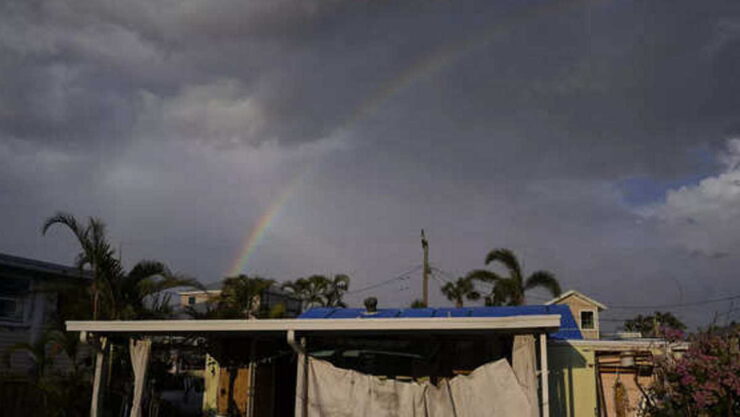
Tropical Storm Arlene has experienced a whirlwind of change this Saturday, transforming from a tropical storm, to a tropical depression, and finally to a post-tropical cyclone.
Arlene’s highest sustained winds decreased from 40 mph at 5 a.m. Saturday to 35 mph by 11 a.m. By 5 p.m., in the final advisory issued by the National Hurricane Center on this system, the winds had further declined to 30 mph.
Arlene remained on a south-southeast path at a speed of about 7 mph, situated 135 miles west-southwest of the Dry Tortugas. The storm is projected to progress towards Cuba, where it’s anticipated to continue to lose strength and eventually dissolve over the weekend. The storm’s remains should pass in between the Florida Keys and Cuba over the central Gulf waters.
Table of Contents
ToggleThunderstorms in the Forecast
In the Keys, scattered to isolated thunderstorms were forecast for Saturday and Sunday, with a 50% chance of occurrence, as reported by the National Weather Service in Key West.
Late Saturday, Arlene was predicted to degrade into a residual low, before finally dissolving, as stated by hurricane expert John Cangialosi in the 11 a.m. advisory.
Arlene’s Impact on Saturday
No coastal advisories or warnings have been issued regarding Arlene.
However, it was expected that rainfall could accumulate between 1 to 2 inches, with some areas possibly receiving up to 5 inches through Saturday across parts of the southern Florida Peninsula, as per the hurricane center.
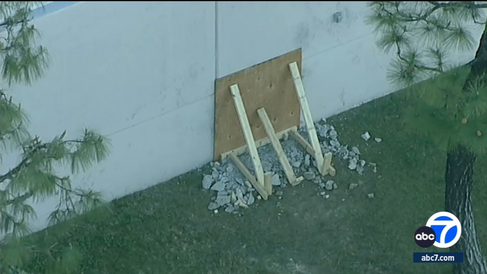
Saturday’s stormy weather in South Florida resulted in hurricane-level wind gusts at Fort Lauderdale airport and caused a section of an apartment duplex’s roof in West Park to partially collapse, causing some families to be displaced.
Severe thunderstorms passed through Hollywood, Hallandale Beach, Dania Beach, and Fort Lauderdale on Saturday afternoon.
A severe thunderstorm warning was released by the National Weather Service in Miami on Saturday morning, valid until noon, for areas including Homestead, Cutler Bay, and Palmetto Bay. Wind speeds of 40 mph and hail the size of peas were predicted.
A similar warning was issued for Doral, Westchester, Hialeah, Miami Gardens, and North Miami, with identical conditions, valid until 12:45 p.m. Saturday.
Flood Warnings Issued
A flood watch was issued by the Miami weather service on Wednesday for South Florida, and it was extended until Sunday.
Areas impacted included:
▪ Coastal regions of Miami-Dade, Broward and Palm Beach counties
▪ Far South Miami-Dade
▪ Inland areas of Miami-Dade, Broward and Palm Beach counties
▪ Metro regions of Miami-Dade, Broward and Palm Beach counties
▪ Glades and Hendry counties
Hourly Rain Forecast
The 48-hour hourly forecast on Saturday for Miami-Dade and Broward indicated the following percentages for rain or storms, as per the weather service:
9 p.m. Saturday: 41%
9 a.m. Sunday: 60%
Noon Sunday: 63%
3 p.m. Sunday: 71%
6 p.m. Sunday: 67%
Source:
https://www.yahoo.com/news/south-florida-still-under-flood-131247112.html